Kilometers of rows that, gently following the curves of the hills, create unique and wonderful plays of color. The predominant green of the cypresses and olive groves is joined by the red of the poppies in spring, by the yellow of the wheat fields and sunflowers in summer. However it is in autumn that the peak of splendor is reached, a real chromatic explosion of yellow, orange, red, green and brown!
This is the typical tuscan countryside panorama, but it is a pity that too often we choose to enjoy it preferring the comfort of the car to the healthiest trekking.
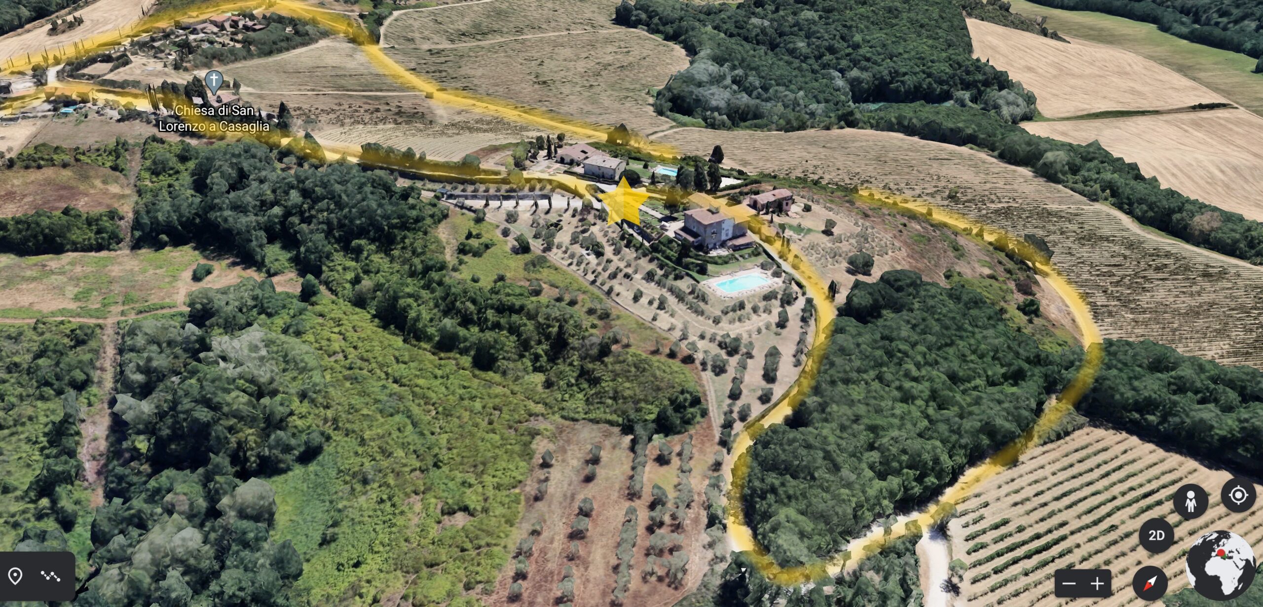
Promote this type of turism should be an ethical oblige for our community. We have a myriad of local, rural, forest roads, lanes and paths, which properly organized, would form a huge network. We could encourage a healthy tourism, in contact with the territory. At the moment there are only some occasional event, mainly organized by local winegrowers during “Opening Cellar” events. Nothing really structured.
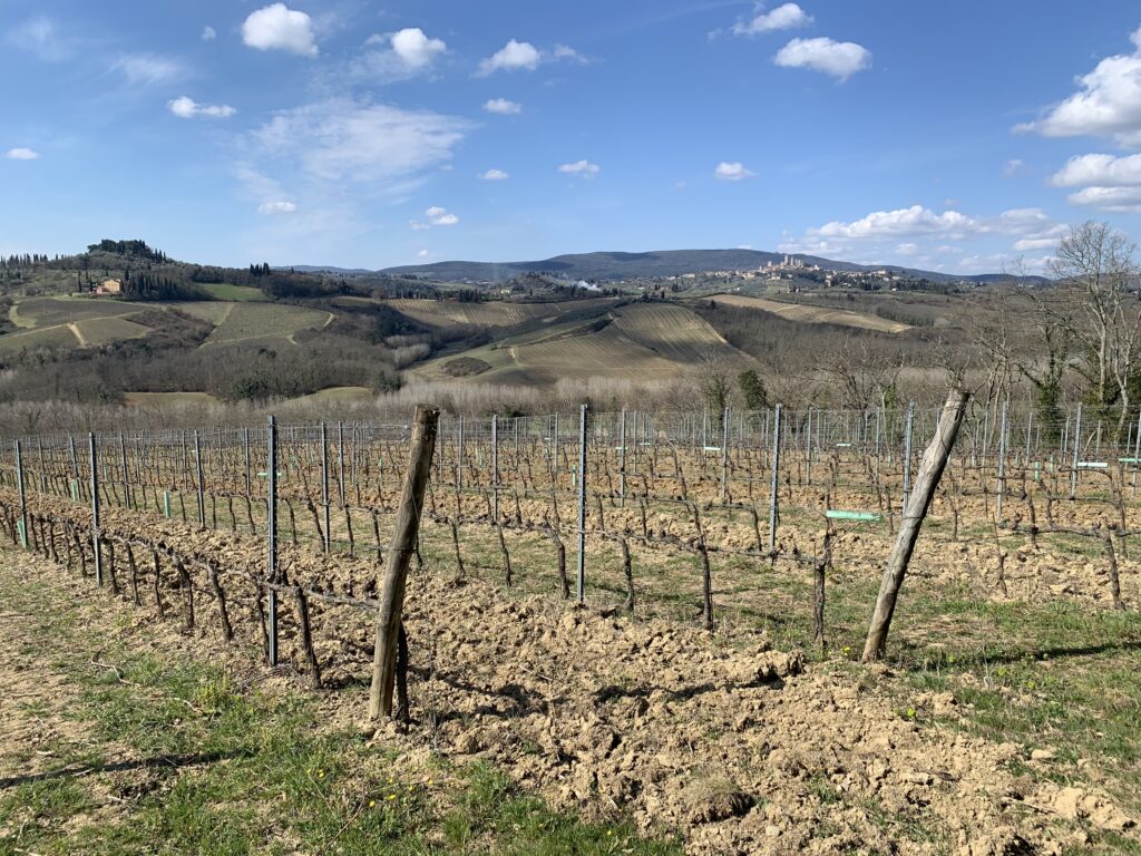
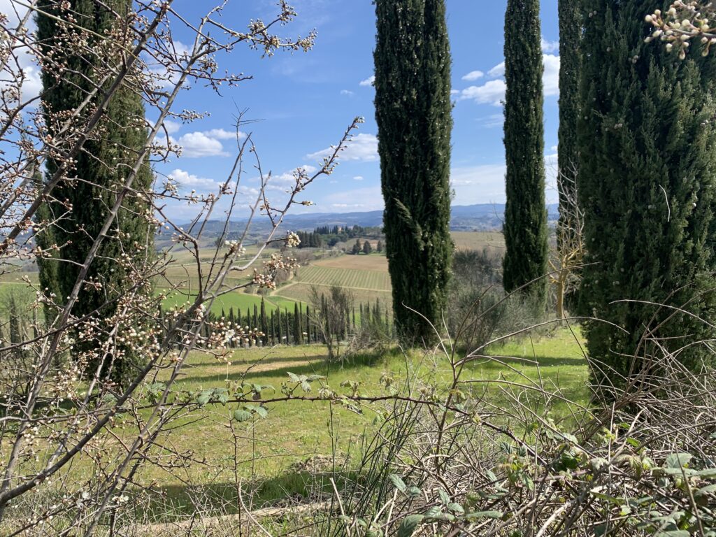
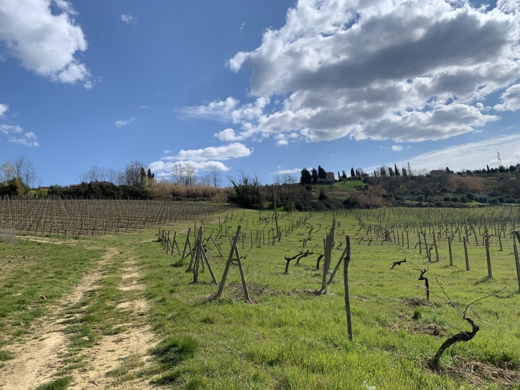
The main paths are a legacy of history (Via Francigena once passed through this land), but the real resource is the capillary presence of the capezzagne, which help to shape the landscape of the vineyards. They can be unpaved and sometimes grassy, they allow access between the rows and the turning maneuvers of agricultural vehicles, drawing the boundaries of the vineyards on the territory. In essence, these are unproductive surfaces, but functional to the management of crops and which have a high landscape value.
This network of scenic routes, appropriately enhanced, could become a strong point of the territory’s sustainable tourism offer.
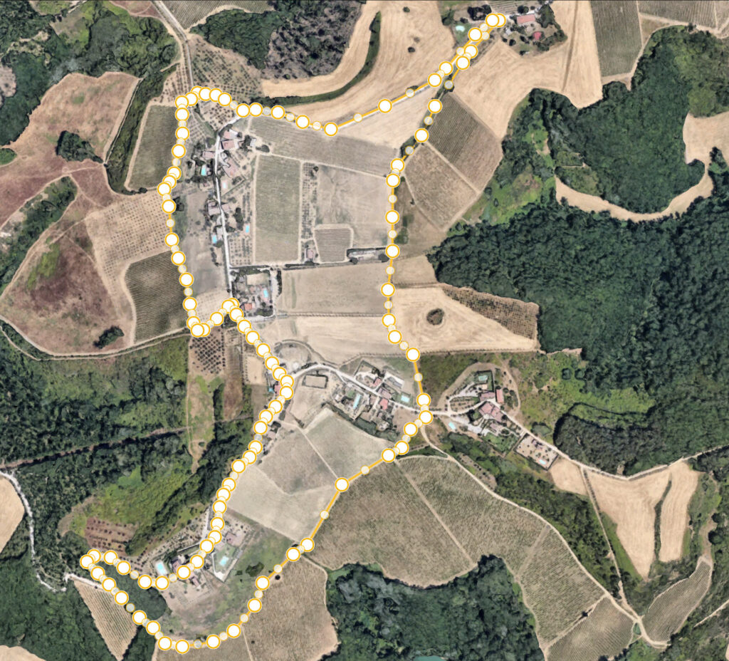
In support of this thesis, I would like to suggest you a short trek that I recently enjoyed it. It will undoubtedly be a relaxing experience in contact with nature. Along the way there is also a farm where you can make tasting.
Remember to keep any waste and to thrown in the garbage once back in the apartment!
By respecting nature, we will also respect ourselves!
Few final tips for getting around safely. Personally I rely on apps like ViewRanger or Google Map, alternatively I can suggest:
TOURIST AND TRAILS MAP
